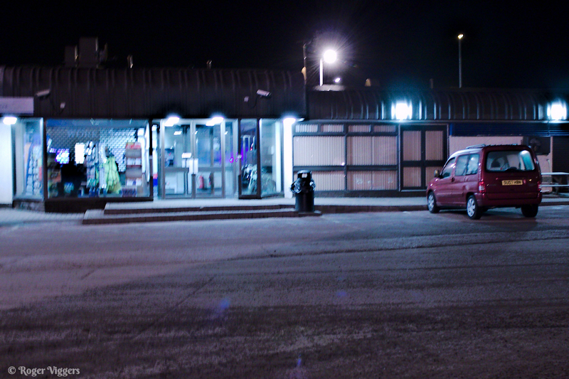
In 2010 I was living in Coalbrookdale, Shropshire and decided to go for a day out. It became a fairly long day, leaving home at about 4:30pm I arrived at Lesmahagow Truck Stop at about 9pm and booked a room. Basic but clean and tidy. The truck stop has since moved location so I can’t comment on the new facilities.
I woke and departed at some ridiculous hour, about quarter past two, and headed north east. Bypassing Perth I arrived in Blairgowrie. It was about half past four and the only sign of life was in the local newsagent. When he looked out to see who was doing what we exchanged the usual pleasantries and he went back to work.
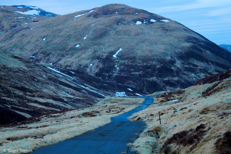
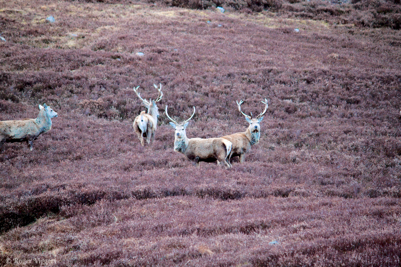
Continuing north I entered Glen Shee, an area known for winter sports. There I found a nice spot for “wild camping”, some deer and an abandoned croft.
The next call was Braemar, home of the Braemar Gathering and the annual Highland Games attended by the monarch. Opposite the Fife Arm Hotel is the former stabling for guests horses.
Shortly after passing Balmoral I turned left on to the old military road towards Grantown-on-Spey, passing Corgarff Castle and Tomintoul.
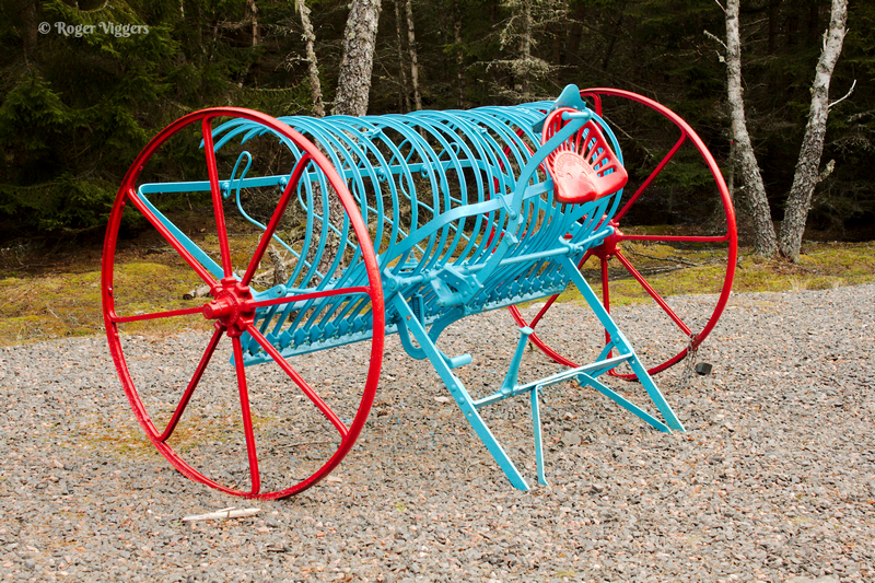
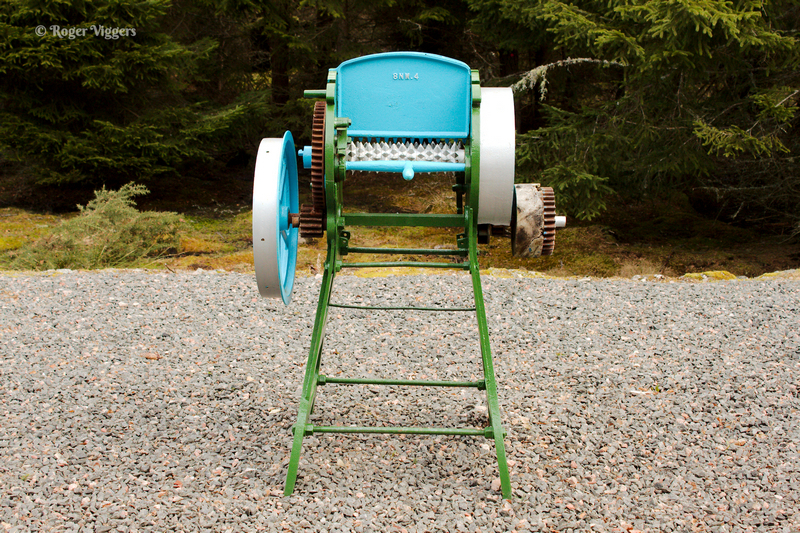
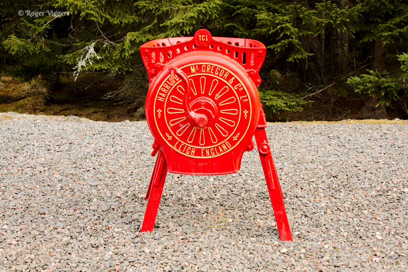
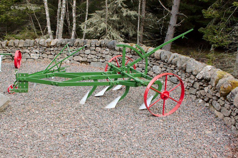
After passing Grantown I arrived at Dulnain Bridge. Set out alongside the A938 on the eastern approach to the village is an impressive display of antique agricultural equipment, mostly horse drawn and hand operated.
In the north of the village and next to the roches moutonnees (see above), is the display of farm machinery, This was the conception of George Rae Manager of Ballintomb Farm, Muckrach Estate. It was designed to enhance the road into the village from the east as a task set by his employer for the Year 2000. Working along with Tom Goss, the then Community Council Chairman, the land, dykestone and some of the antiquated machinery was acquired from Muckrach estate. The project was adopted by the Dulnain Bridge & Vicinity Community Council. It features farming machinery that has been used for decades in the fields around the Dulnain Bridge area.
The council describe it as a ‘collection of implements from a bygone age’ and the machinery is donated by local residents. Moray, Badenoch and Strathspey Enterprise assisted the creation of the project.
Details from Wikipedia…
https://en.wikipedia.org/wiki/Dulnain_Bridge#Antiquated_Farm_Machinery_Project
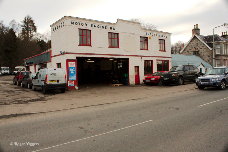
In the village is an impressive motor garage. The style suggests it dates from the 1920s.
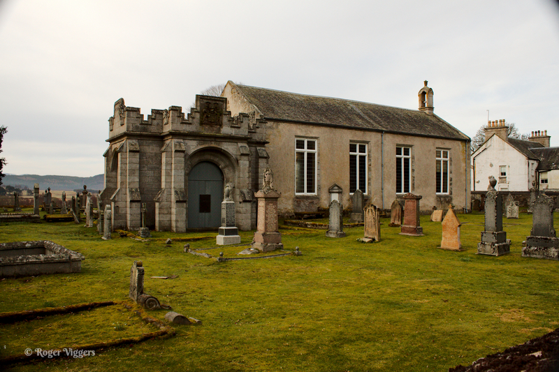
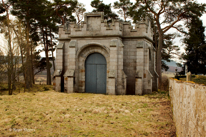
Duthil is home to the The Clan Grant Centre housed in the former Duthil Parish Church, which was gifted to the Clan Grant Society in 1986. The burial grounds surrounding the centre contain two mausoleums in which some of the Chiefs of Clan Grant are buried.
A few miles further on and I joined the A9 a little south of the Pass of Drumochter, also known as Slochd Summit. The A9 summit is 1328 ft above sea level while the railway reaches 1,315 feet.
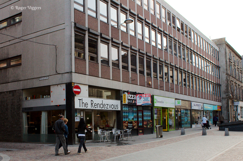
By now it was time for breakfast and a helpful Inverness traffic warden directed me to parking and the Rendezvous Café in Church Street.
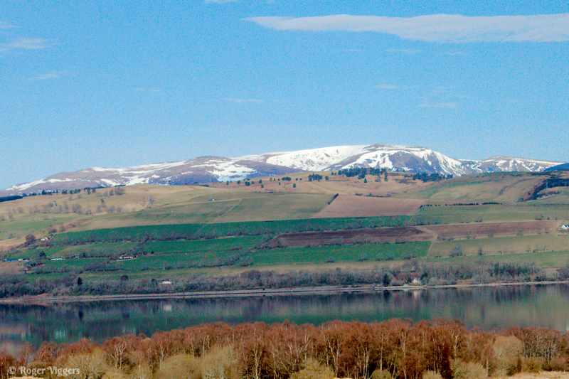
Continuing north on the A9 one crosses the Cromarty Firth with Dingwall on the opposite bank.
Further north the road is close to the coast and passing through Brora this spectacular war memorial stands alongside the main road. It was unveiled on Christmas Day 1922.
https://www.northern-times.co.uk/news/brora-war-memorial-committee-unveil-info-panels-to-mark-cent-297814/
Passing through Reiss, Sinclair’s Bay opens up, providing refuge for ships.
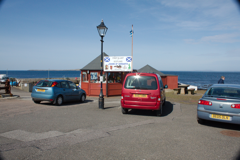
The village of John o’Groats stands slight inland from the harbour. The Seaview Hotel is the official end, or start, point for anyone walking from or to Land’s End. A straight line between the two is 603 miles, but that crosses the Irish Sea. The sign at Land’s End shows the distance as 874 miles.
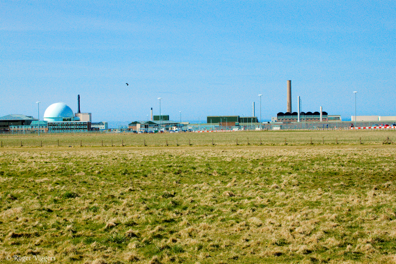
About ten miles west of Thurso at Dounreay are the Nuclear Power Development Establishment (NPDE) for the development of civil fast breeder reactors, and the Vulcan Naval Reactor Test Establishment (NRTE), a military submarine reactor testing facility. Both are in the process of being decommissioned.
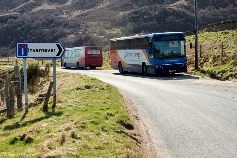
Even this far out in the sticks, thirty-two miles from Thurso, there is a bus service. and horse power of an older type.
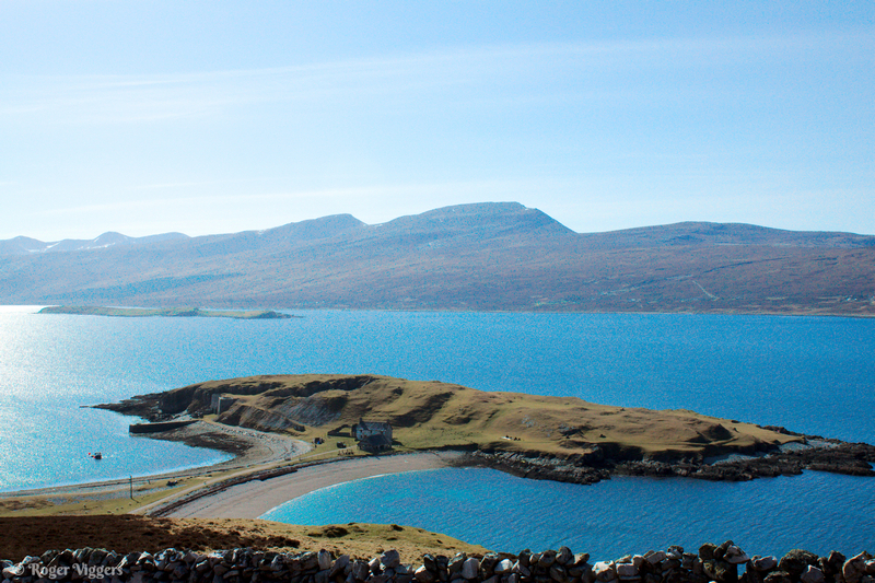
The north coast has numerous lochs and bays. This is Loch Eriboll and the unusual headland is Ard Neakie. On the headland is a quarry and limekils were built in about 1870. Loch Eriboll was an important anchorage for the Navy during much of the 20th century and in May 1945 was the site of the German U-boat surrender. During WWII Ard Neakie was used by the Navy to store supplies and ammunition in the caves and by the then, redundant lime kilns.
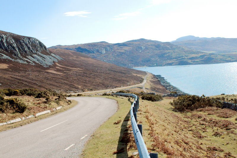
After circumnavigating Loch Eriboll one passes through Durness and then across the wilderness surrounding Carbreck.
The next major town is Ullapool which stands on the shores of Loch Broom and is the ferry port for the Outer Hebrides. The ship is a fish factory, Ocean Fresh.
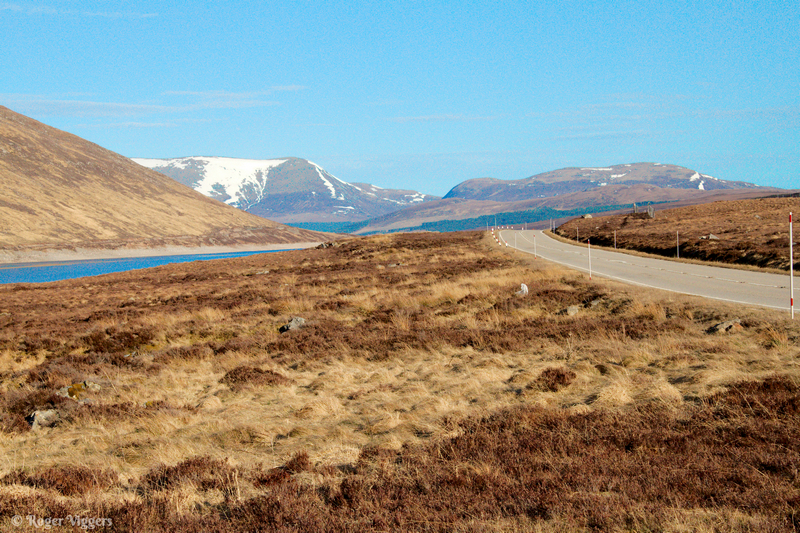
From here I headed southwards, passing Loch Glascarnoch and the snow capped Sron Liath.
I stopped at a motorway services to sleep and arrived home on Sunday morning.





















Thank you Roger. The Royal Navy Base was known as Scapa Flow. Were you started your Journey in Scotland is a area I was familier with many years ago. Glenshea. We were some few miles south of Glenshee in a Village called Folda or Fulda. Judging by the spell checker my later offering is approved. We stopped in the Old School House. It was then called “Guards House, Fulda”.
My email address is, ted.land401@gmail.com